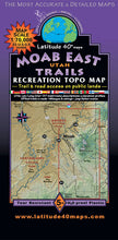
Mountain biking and recreation map including ATV4WD roads and hiking trails. Covers the area east of Highway 191, including Moab and the eastern side of Arches NP and the La Sal Mountains to the Colorado border. Offers elevation profiles, shaded relief, environmental considerations, seasonal hazards and personal safety concerns.
Waterproof/tearproof. Scale: 1:70,000. 5th Edition (2017).
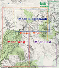
Map covers:
- North - two miles south of I-70
- South - Monticello, Utah
- East - Colorado state line
- West - 2 miles west of Moab
Size: 39 x 25 inches flat and 8 x 4 inches folded
#693


